


Campbell Park Anchorage homes & area guide
South of Tudor, the Campbell Creek landscape and the local road network create a more specific search than “East Anchorage.” Start with the public outline, then the property.
Banner: Downtown Anchorage at sunset — city context, not this neighborhood or a listed-home view. Photo: iStock.com/Jacob Boomsma.
A neighborhood name and a public-land landscape
Campbell Park is a specific municipal community council area, not a general name for every property along Campbell Creek. The outline sits south of Tudor with the Lake Otis and Elmore-side connections helping place the settled streets. The mapped area also relates to a larger public-land and recreation landscape to the east.
That makes the distinction between a guide polygon and a residential subdivision especially important. Coloring land for orientation does not imply that it contains homes, is available to buy or has public access everywhere within the line. A listing’s parcel and the land manager’s map answer those questions.
The existing East Anchorage and South Anchorage guides remain broader comparisons. This page gives Campbell Park its own practical lens: the actual approach from the main roads, the position of the home and the public destinations you would use.
Campbell Park on the Anchorage map
Gold highlights this guide. Grey shapes provide nearby civic geography. Tap a shape for its guide or a numbered pin for a public park.
One finger scrolls the page. Pinch or use + / − to zoom. Tap “Move map” to pan, then “Done moving map” to return to page scrolling.
Lightly simplified MOA council outlines retrieved November 9, 2026 (AKST). These are orientation and search areas, not MLS, subdivision, parcel or legal boundaries. Park points are inside official municipal park polygons: not trailheads or parking entrances. Some destinations are outside the gold area. Use the operator’s map for public access.
Tudor and Lake Otis are only the beginning of the route
Tudor Road is a major northern reference for this area. Lake Otis and the Elmore-side road network help distribute local trips, but the appropriate approach depends on the address. Do not substitute the distance to a major intersection for the full driveway-to-destination trip.
For the U-Med district, test the specific building and parking location you need. For Midtown or the Seward corridor, compare the real turns and signals in both directions. A road beside the neighborhood is not evidence of an on-ramp or through connection from every side street.
A first visit should include the final residential segment and the return route. Notice how the driveway, parking and entry fit into that trip. The guide deliberately avoids a single commute estimate that would hide those address-level differences.
Campbell Creek and the larger park network
Campbell Creek is a useful public-land reference, but it should not be confused with a universal backyard trail. The Municipality publishes Campbell Creek and Far North Bicentennial trail maps as separate resources. Use those current maps to identify the access point and route for the outing you intend.
Our numbered Campbell Park pin is an approximate point inside official park geometry, not a promise of a parking entrance or a crossing at that exact coordinate. This is deliberately different from placing an unverified trailhead on the map. University Lake is shown as a separate wider-area destination for comparison.
Public recreation land, trails and private parcels can meet in complicated ways. Follow designated entrances and posted rules; no route through an individual lot is implied. Seasonal operations, maintenance and construction notices belong to the land manager rather than a permanent real-estate description.
See the wider Anchorage setting
Swipe, then tap a licensed photo to open it full-screen. These show downtown and the wider Municipality—not this neighborhood, a listing or a view promised from a home. A local-photo slot is clearly labeled until an approved photograph is available.
Set the property type before comparing square footage
Current inventory can include detached houses, attached homes, condos and multi-unit arrangements in the wider search. Inside the Campbell Park outline, verify the current listing’s ownership and building form rather than assuming every residential pocket has the same setup.
An attached home with shared exterior obligations is a different comparison from a detached home and its own yard. A lower-level entrance, separate garage or unusually shaped lot can change the way a similar amount of interior space works. Start with the arrangement you want, then compare the physical details and documents.
If land or an expansion is part of your plan, investigate the actual parcel constraints before relying on apparent open space. James Cash and Ryan Lunski can help connect the intended use with the relevant listing, survey and records review, without treating the map highlight as a buildability certificate.
Creek-side context deserves property-level questions
Look at drainage, the relationship to nearby water and any applicable flood or hazard mapping at the parcel level. The presence of Campbell Creek in the wider landscape is not a finding about a home’s condition or an area-wide prediction. Use inspection findings and qualified advice for the specific site.
Confirm water, wastewater, heating and communications arrangements from the actual accounts and equipment. Review recorded access, easements and any association documents. The boundary on a community map does not establish who owns a service line or who plows a private segment.
The council and municipal trail sources give independent context for land use and recreation. They are linked so a buyer can check current information, including proposals that have not become completed facilities.
Picture the season. Check the actual property.
Tap for seasonal planning notes. The photos are licensed wider-Anchorage context, not a matched pair from this neighborhood.
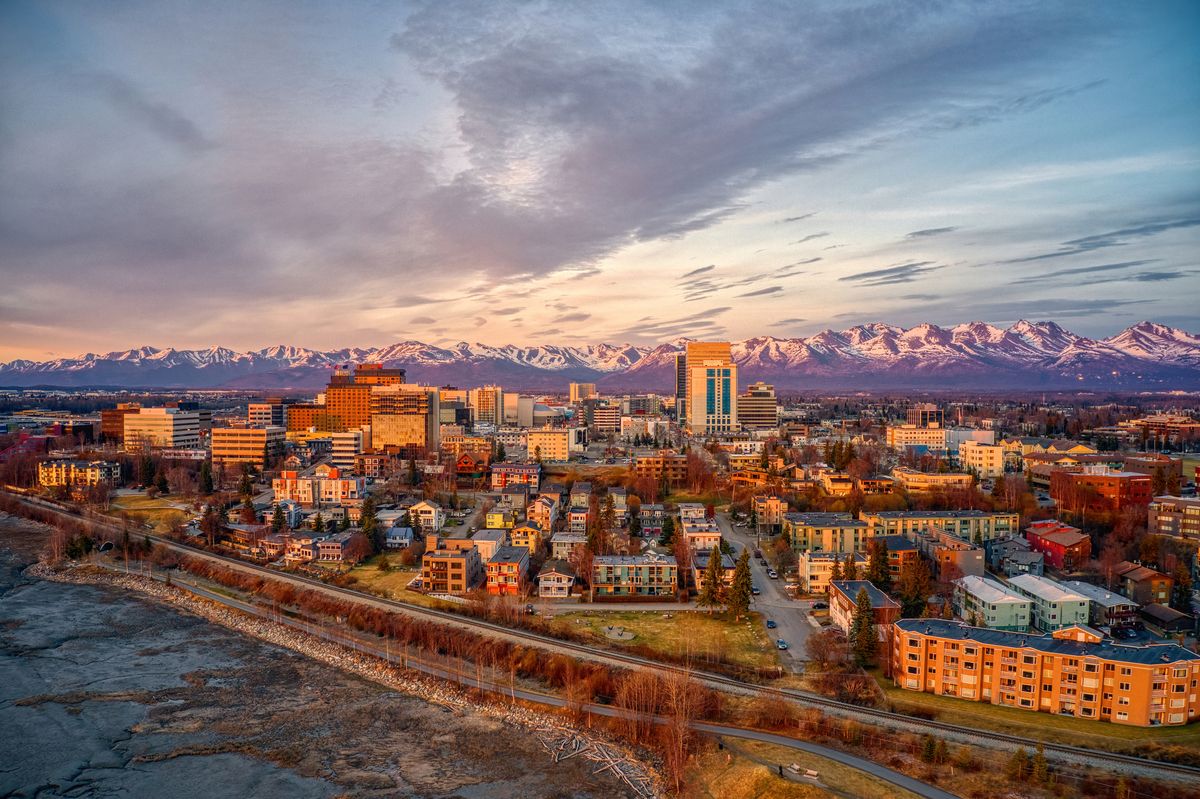
Compare the usable lot and visit the designated public trail entrance separately. Do not infer an access right from a strip of trees or an informal path. Photo remains downtown context; this is a planning-note toggle, not a matched seasonal photo pair.
Photo: iStock.com/Jacob Boomsma
Before you buy: one property, one clear review
Tap a topic. These are questions to verify, not conclusions about a neighborhood.
Parcel, use and alterations
Compare the survey, municipal zoning and recorded restrictions with your intended use. Confirm permitted dwelling count and records for additions or conversions. An extra kitchen, separate entrance or large lot does not establish a permitted use.
Structure, ground and drainage
Ask your inspector about the foundation, roof, drainage, heating and documented repairs. Review available parcel hazard mapping and site-specific reports where relevant. A council map is not an engineering or condition assessment.
Shared buildings and operating records
For a condo or attached property, read the declaration, maintenance responsibilities, reserves, insurance, minutes and proposed assessments. For a rental property, review actual leases, deposits, utility allocation and collected income separately from projections.
Services, parking and winter operation
Confirm the actual utility connections, private service-line responsibilities, heating records and communications options. Check recorded access, parking rights, snow storage and who maintains each public or private road segment.
Public land and your real daily route
Use designated public park entrances and current operator notices. Confirm any claimed private access or easement in the records. Test your actual destination and return trip; a nearby highway, campus or base boundary is not a travel-time or access promise.
General information only—not engineering, legal, tax, lending or inspection advice.
YOUR ALASKA SEARCH
Keep Campbell Park on your radar
Open the area-shaped search, then save it to follow new listings without restarting your search.
On the results page, tap Save Search to save it to your dashboard and set up email alerts. Sign in or create your account if prompted, then choose your alert settings. Opening this link alone does not activate alerts.
One closed polygon follows a simplified version of the MOA council outline. It is not an MLS, parcel or legal boundary. Edge listings may be included or missed; confirm individual property locations. Current inventory is on the results page, not a fixed count in this guide.
Compare places, not rankings
U-Med / Tudor
Open the separate guide and compare the actual geography and properties.
Explore this area →Rogers Park
Open the separate guide and compare the actual geography and properties.
Explore this area →Scenic Foothills
Open the separate guide and compare the actual geography and properties.
Explore this area →Taku / Campbell
Open the separate guide and compare the actual geography and properties.
Explore this area →East Anchorage
Open the separate guide and compare the actual geography and properties.
Explore this area →Abbott Loop
Open the separate guide and compare the actual geography and properties.
Explore this area →South Anchorage
Open the separate guide and compare the actual geography and properties.
Explore this area →Keep the broader Anchorage guide open, or explore Eagle River, Wasilla and Palmer.
Planning resources: Buying a home, Buying land and Plan your visit.
Campbell Park: common questions
Is Campbell Park the same as Taku/Campbell?
No. They are separate council areas. This guide covers Campbell Park; Taku/Campbell lies farther west in south-central Anchorage.
Does the highlighted land all contain homes?
No. A council outline includes more than residential parcels. Check the actual listing, land ownership and parcel records.
Is the park pin a trailhead?
No. It is an approximate orientation point derived inside official park geometry. Use current municipal trail maps for entrances and parking.
Turn the outline into a property shortlist.
Tell James Cash and Ryan Lunski which routes, building arrangements and outdoor spaces matter to you. We’ll help compare actual homes and the records behind them—not just an area label.
Keller Williams Realty Alaska Group
Properties of Alaska by HERO Realty Group
Sources behind the geography
Researched November 9, 2026 (AKST). Current municipal council and park GIS, council information and land-manager project pages support this guide. Project dates can change; current property records and operator notices control.
Photographer credit